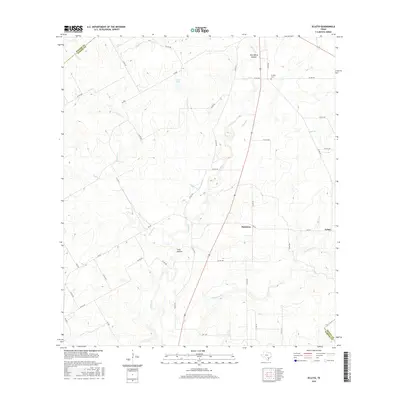
2016 Map of Ecleto
USGS Topo · Published 2016About this map
Ecleto and Harmony sit within a landscape defined by the winding hydrology of the Texas brush country, where the Wilson and DeWitt county lines meet the northeastern corner of Karnes County. The terrain is marked by significant drainages including the perennial Ecleto Creek and its seasonal counterpart, Dry Ecleto Creek, which feed into the local watershed alongside Rhymes Creek and Pridgeon Creek. For those tracing local families, the presence of the Treybig Cemetery and named landmarks like Tom White Hollow and Ford Hollow offer specific points of connection to the ranching and agricultural history of this region. The network of county roads and farm-to-market routes, such as FM 887 and FM 627, illustrates the rural infrastructure connecting scattered homesteads and the small settlement at Korth Lake.
Find a feature on this map
42 named features on this map. Tap any name to fly to it.
Don’t see what you’re looking for? This feature index may not catch every label — zoom into the map to look around manually.
Map Details
Editions of this 2016 Ecleto Map
This is the sole edition of this map. No revisions or reprints were ever made.
Other maps of this area
1920 · Smiley
USGS Topo · 1:125,000

1953 · Beeville
USGS Topo · 1:250,000

1953 · Seguin
USGS Topo · 1:250,000

1956 · Beeville
USGS Topo · 1:250,000
1956 · Karnes City
USGS Topo · 1:62,500

1958 · Seguin
USGS Topo · 1:250,000

1960 · Beeville
USGS Topo · 1:250,000
1960 · Karnes City
USGS Topo · 1:24,000
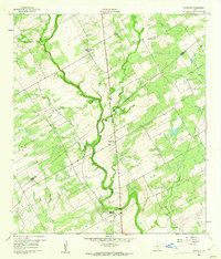
1960 · Kosciusko
USGS Topo · 1:24,000
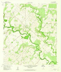
1960 · Helena
USGS Topo · 1:24,000