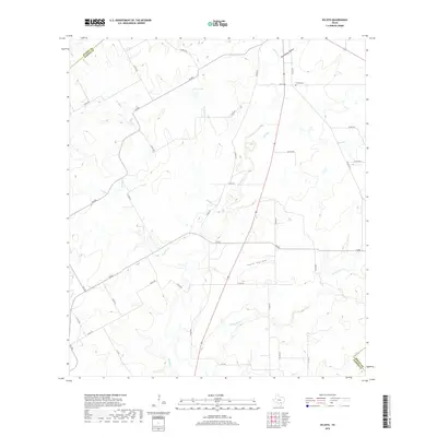
2019 Map of Ecleto
USGS Topo · Published 2019About this map
Karnes County ranchlands and creek beds define the landscape of this south Texas region, where the small settlement of Ecleto sits near the eastern edge of the quadrangle. The topography is shaped by a complex network of intermittent drainages, including the prominent Ecleto Cr, Dry Ecleto Cr, and Rhymes Cr, which cut through the terrain to form landmarks like Tom White Hollow and Ford Hollow.
Find a feature on this map
41 named features on this map. Tap any name to fly to it.
Don’t see what you’re looking for? This feature index may not catch every label — zoom into the map to look around manually.
Map Details
Editions of this 2019 Ecleto Map
This is the sole edition of this map. No revisions or reprints were ever made.
Other maps of this area
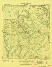
1920 · Smiley
USGS Topo · 1:125,000
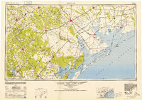
1953 · Beeville
USGS Topo · 1:250,000

1953 · Seguin
USGS Topo · 1:250,000
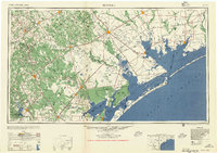
1956 · Beeville
USGS Topo · 1:250,000
1956 · Karnes City
USGS Topo · 1:62,500
1958 · Seguin
USGS Topo · 1:250,000
1960 · Beeville
USGS Topo · 1:250,000
1960 · Karnes City
USGS Topo · 1:24,000
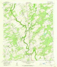
1960 · Kosciusko
USGS Topo · 1:24,000
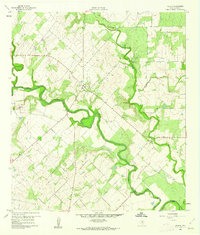
1960 · Helena
USGS Topo · 1:24,000