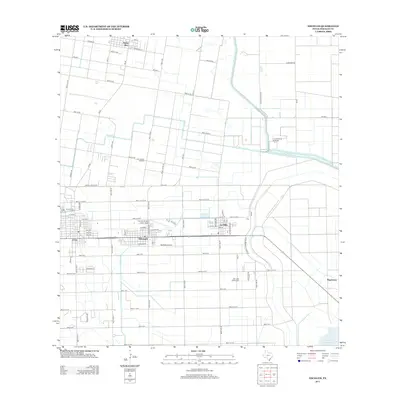
2013 Map of Edcouch
USGS Topo · Published 2013About this map
The agricultural landscape of the Rio Grande Valley is defined by a dense grid of irrigation infrastructure and rural settlements in this 2013 survey. Central to the region's connectivity are the towns of Elsa and Edcouch, where the residential street grids contrast with the surrounding rectangular farm plots. Aviation plays a visible role in the local infrastructure with Cannon Aviation Nixon Airport and Skalitsky Airport located near the town centers. Water management is the lifeblood of this terrain, anchored by the Main Supply Canal and the Donna Drain, which feed into the extensive network of miles-numbered roads.
Find a feature on this map
53 named features on this map. Tap any name to fly to it.
Don’t see what you’re looking for? This feature index may not catch every label — zoom into the map to look around manually.
Map Details
Editions of this 2013 Edcouch Map
This is the sole edition of this map. No revisions or reprints were ever made.
Other maps of this area

1914 · San Juan
USGS Topo · 1:48,000

1916 · San Juan
USGS Topo · 1:62,500

1929 · Santa Rosa
USGS Topo · 1:24,000

1929 · La Feria
USGS Topo · 1:24,000

1933 · Santa Rosa
USGS Topo · 1:31,680

1936 · La Feria
USGS Topo · 1:31,680

1949 · Mc Allen
USGS Topo · 1:250,000

1953 · Brownsville
USGS Topo · 1:250,000

1954 · McAllen
USGS Topo · 1:250,000

1956 · Santa Rosa
USGS Topo · 1:24,000