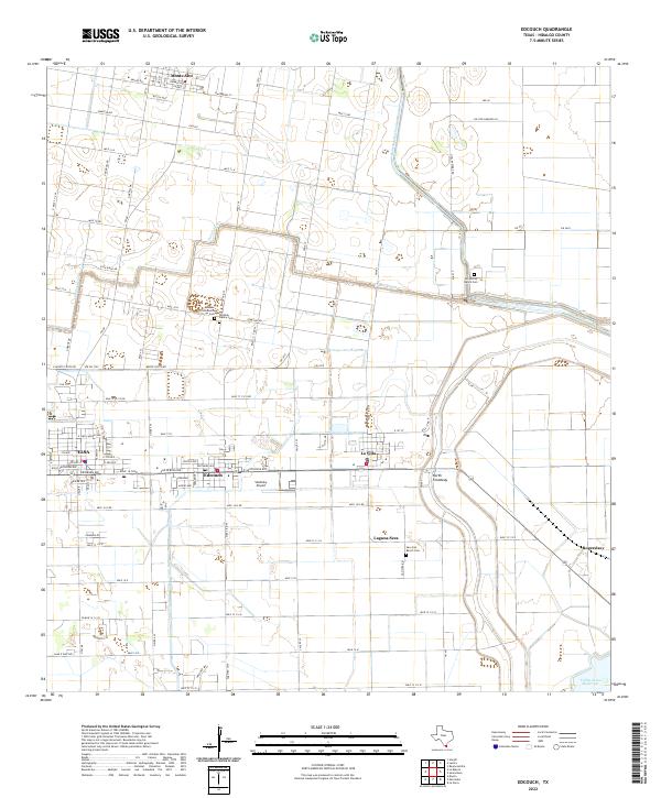
2022 Map of Edcouch
USGS Topo · Published 2022About this map
Edcouch and Elsa anchor this portion of Hidalgo County, where the geometric grid of irrigation canals and agriculture defines the Rio Grande Valley landscape. The map captures a high density of rural burial sites essential for genealogical research, including the Anahuac Community Cem, Womble Family Cem, and Los Burros Ranch Cem. These family-named landmarks suggest a deep history of private ranching and community ties within the irrigation districts.
Find a feature on this map
94 named features on this map. Tap any name to fly to it.
Don’t see what you’re looking for? This feature index may not catch every label — zoom into the map to look around manually.
Map Details
Editions of this 2022 Edcouch Map
This is the sole edition of this map. No revisions or reprints were ever made.
Other maps of this area

1914 · San Juan
USGS Topo · 1:48,000

1916 · San Juan
USGS Topo · 1:62,500

1929 · Santa Rosa
USGS Topo · 1:24,000

1929 · La Feria
USGS Topo · 1:24,000

1933 · Santa Rosa
USGS Topo · 1:31,680

1936 · La Feria
USGS Topo · 1:31,680

1949 · Mc Allen
USGS Topo · 1:250,000

1953 · Brownsville
USGS Topo · 1:250,000

1954 · McAllen
USGS Topo · 1:250,000

1956 · Santa Rosa
USGS Topo · 1:24,000