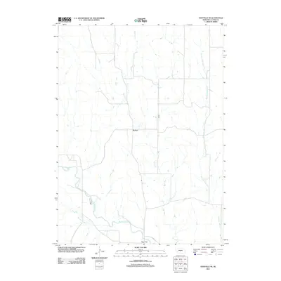
2011 Map of Eddyville NE
USGS Topo · Published 2011About this map
Buckeye and Burr Oak anchor this Custer County landscape, where the flat valley floors of the South Loup River meet the dissected uplands of central Nebraska. The drainage pattern is the defining characteristic of this area, with Deer Creek cutting a long north-south path through the center while West Box Elder Creek defines the eastern reaches. The rural infrastructure is marked by a grid of section-line roads, including Sumner Rd and Cumro Rd, which connect isolated farmsteads across the prairie. This 2011 edition provides a clear view of the modern agricultural footprint, tracing how historical place names like Burr Oak Creek persist in a territory shaped by perennial watercourses and the wide, braided channels of the South Loup.
Find a feature on this map
8 named features on this map. Tap any name to fly to it.
Don’t see what you’re looking for? This feature index may not catch every label — zoom into the map to look around manually.
Map Details
Editions of this 2011 Eddyville NE Map
This is the sole edition of this map. No revisions or reprints were ever made.
Other maps of this area

1951 · Broken Bow SW
USGS Topo · 1:24,000

1951 · Ansley
USGS Topo · 1:24,000

1951 · Broken Bow SE
USGS Topo · 1:24,000

1951 · Eddyville NE
USGS Topo · 1:24,000

1951 · Mason City SW
USGS Topo · 1:24,000

1951 · Eddyville NW
USGS Topo · 1:24,000

1951 · Eddyville
USGS Topo · 1:24,000

1951 · Mason City NW
USGS Topo · 1:24,000

1951 · Eddyville SW
USGS Topo · 1:24,000

1955 · Broken Bow
USGS Topo · 1:250,000