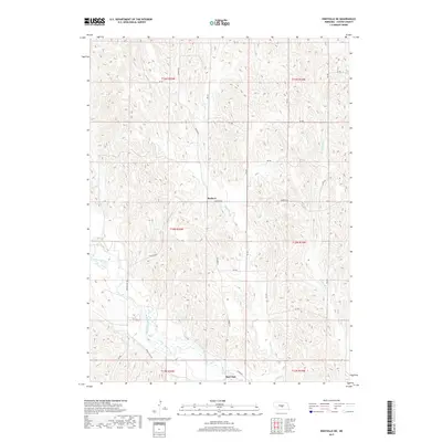
2017 Map of Eddyville NE
USGS Topo · Published 2017About this map
Buckeye and Burr Oak anchor this rural landscape in Custer County, where the topography is defined by the winding course of the South Loup River. The area is a network of drainage systems, including Deer Cr, Burr Oak Cr, and W Box Elder Cr, which carve through the Nebraska hills. The settlement pattern follows established section lines, with many roads named for the communities they connect, such as Buckeye Rd, Sumner Rd, and Cumro Rd. The southern portion of the map is particularly notable for the wide valley floor surrounding the river, while the northern sections transition into the more dissected uplands characteristic of the region. This survey captures the enduring agricultural character of the Nebraska sandhills fringe, documenting the precise locations of rural residences and the infrastructure of the central plains.
Find a feature on this map
26 named features on this map. Tap any name to fly to it.
Don’t see what you’re looking for? This feature index may not catch every label — zoom into the map to look around manually.
Map Details
Editions of this 2017 Eddyville NE Map
This is the sole edition of this map. No revisions or reprints were ever made.
Other maps of this area

1951 · Broken Bow SW
USGS Topo · 1:24,000

1951 · Ansley
USGS Topo · 1:24,000

1951 · Broken Bow SE
USGS Topo · 1:24,000

1951 · Eddyville NE
USGS Topo · 1:24,000

1951 · Mason City SW
USGS Topo · 1:24,000

1951 · Eddyville NW
USGS Topo · 1:24,000

1951 · Eddyville
USGS Topo · 1:24,000

1951 · Mason City NW
USGS Topo · 1:24,000

1951 · Eddyville SW
USGS Topo · 1:24,000

1955 · Broken Bow
USGS Topo · 1:250,000