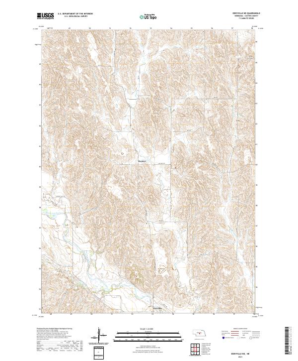
2021 Map of Eddyville NE
USGS Topo · Published 2021About this map
The South Loup River winds through the southwestern corner of this Custer County landscape, providing a vital water source for the surrounding agricultural community. Small rural settlements like Buckeye and Burr Oak serve as focal points for the sectioned grid of county roads that crisscross the terrain. Tributaries such as Deer Cr and W Box Elder Cr carve drainage patterns through the upland areas, illustrating the hydrologic character of the region. The map details a network of named thoroughfares including Pressey East Rd, Buckeye Rd, and Cumro Rd, which connect remote homesteads and farmsteads. This U.S. Geological Survey representation documents the persistent rural infrastructure and land divisions within the central Nebraska plains, where the relationship between the river valley and the higher grazing lands remains central to local life.
Find a feature on this map
27 named features on this map. Tap any name to fly to it.
Don’t see what you’re looking for? This feature index may not catch every label — zoom into the map to look around manually.
Map Details
Editions of this 2021 Eddyville NE Map
This is the sole edition of this map. No revisions or reprints were ever made.
Other maps of this area

1951 · Broken Bow SW
USGS Topo · 1:24,000

1951 · Ansley
USGS Topo · 1:24,000

1951 · Broken Bow SE
USGS Topo · 1:24,000

1951 · Eddyville NE
USGS Topo · 1:24,000

1951 · Mason City SW
USGS Topo · 1:24,000

1951 · Eddyville NW
USGS Topo · 1:24,000

1951 · Eddyville
USGS Topo · 1:24,000

1951 · Mason City NW
USGS Topo · 1:24,000

1951 · Eddyville SW
USGS Topo · 1:24,000

1955 · Broken Bow
USGS Topo · 1:250,000