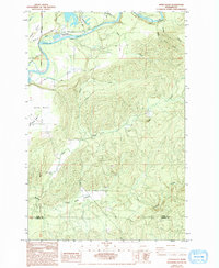
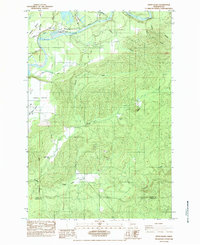
1984 Map of Eden Valley
USGS Topo · Published 1994About this map
The Cowlitz River winds through the northern portion of this landscape, where the Cowlitz Trout Hatchery stands near the confluence of Blue Creek. The terrain is defined by distinct flatlands such as Layton Prairie and Alexander Prairie, which contrast with the deeply carved drainages to the south. This area, spanning the Lewis and Cowlitz County line in the mid-1980s, reflects a history of small-scale resource extraction and rural development. Evidence of local industry is found at the Windom Mine and several quarries, while the natural hydrology is punctuated by Cedar Creek Falls. The map documents a network of named rural routes, including Jack Welches Road and Evans Road, providing a detailed look at the infrastructure supporting these upland settlements and timber-adjacent lands before further modern changes.
Find a feature on this map
24 named features on this map. Tap any name to fly to it.
Don’t see what you’re looking for? This feature index may not catch every label — zoom into the map to look around manually.
Map Details
Editions of this 1984 Eden Valley Map
2 editions found
Other maps of this area

1916 · Chehalis
USGS Topo · 1:125,000

1941 · Olequa
USGS Topo · 1:62,500

1942 · Toutle
USGS Topo · 1:62,500

1943 · Willapa
USGS Topo · 1:62,500

1953 · Hoquiam
USGS Topo · 1:250,000

1953 · Toutle
USGS Topo · 1:62,500

1953 · Castle Rock
USGS Topo · 1:62,500

1954 · Onalaska
USGS Topo · 1:62,500

1954 · Centralia
USGS Topo · 1:62,500

1957 · Hoquiam
USGS Topo · 1:250,000