
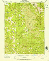
1952 Map of Eden Valley
USGS Topo · Published 1954About this map
Mt Sanhedrin dominates the southern landscape of this mid-century survey, anchoring a wilderness of high ridges and deep canyons within the Mendocino National Forest. The Middle Fork Eel River carves a winding path through the north, while the main Eel River defines the southwestern corner near The Island. Settlement is sparse, represented by working outposts like Eden Valley Ranch and Elk Creek Ranch, which were accessible via rugged mountain tracks.
Find a feature on this map
77 named features on this map. Tap any name to fly to it.
Don’t see what you’re looking for? This feature index may not catch every label — zoom into the map to look around manually.
Map Details
Editions of this 1952 Eden Valley Map
4 editions found
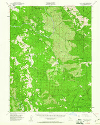
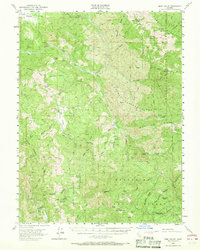
Other maps of this area

1920 · Covelo
USGS Topo · 1:62,500

1922 · Willits
USGS Topo · 1:62,500

1922 · Hullville
USGS Topo · 1:62,500

1926 · Covelo
USGS Topo · 1:62,500

1929 · Eden Valley
USGS Topo · 1:62,500

1942 · Willits
USGS Topo · 1:62,500

1943 · Pomo
USGS Topo · 1:62,500

1944 · Willits
USGS Topo · 1:62,500

1951 · Lake Pillsbury
USGS Topo · 1:62,500

1951 · Laytonville
USGS Topo · 1:62,500