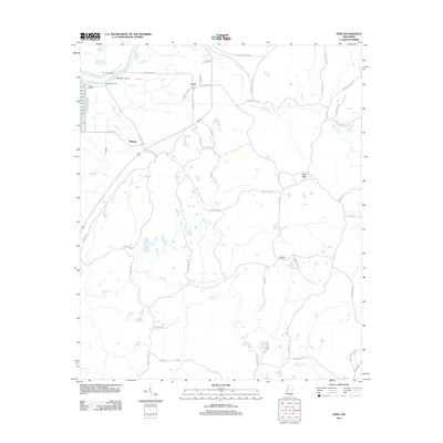
2012 Map of Eden
USGS Topo · Published 2012About this map
The Yazoo River defines the northwestern corner of this landscape, where a series of river access points including Dover Landing and Ingersols Landing hint at the historic importance of the waterway for local commerce and transport. Inland, the settlement of Eden sits at the intersection of Eden Main St and Church St, serving as a central point for a network of rural roads that stretch across the rolling terrain. The map reveals intriguing place names such as Money Sunk and the ominous Dead Man Bayou, which suggest local lore or specific environmental hazards recognized by residents.
Find a feature on this map
59 named features on this map. Tap any name to fly to it.
Don’t see what you’re looking for? This feature index may not catch every label — zoom into the map to look around manually.
Map Details
Editions of this 2012 Eden Map
This is the sole edition of this map. No revisions or reprints were ever made.
Other maps of this area

1940 · Lexington
USGS Topo · 1:62,500

1940 · Mileston
USGS Topo · 1:62,500

1953 · Greenwood
USGS Topo · 1:250,000

1954 · Mileston
USGS Topo · 1:62,500

1955 · Jackson
USGS Topo · 1:250,000

1956 · Greenwood
USGS Topo · 1:250,000

1957 · Lexington
USGS Topo · 1:62,500

1958 · Lexington
USGS Topo · 1:62,500

1961 · Jackson
USGS Topo · 1:250,000

1961 · Valley
USGS Topo · 1:62,500