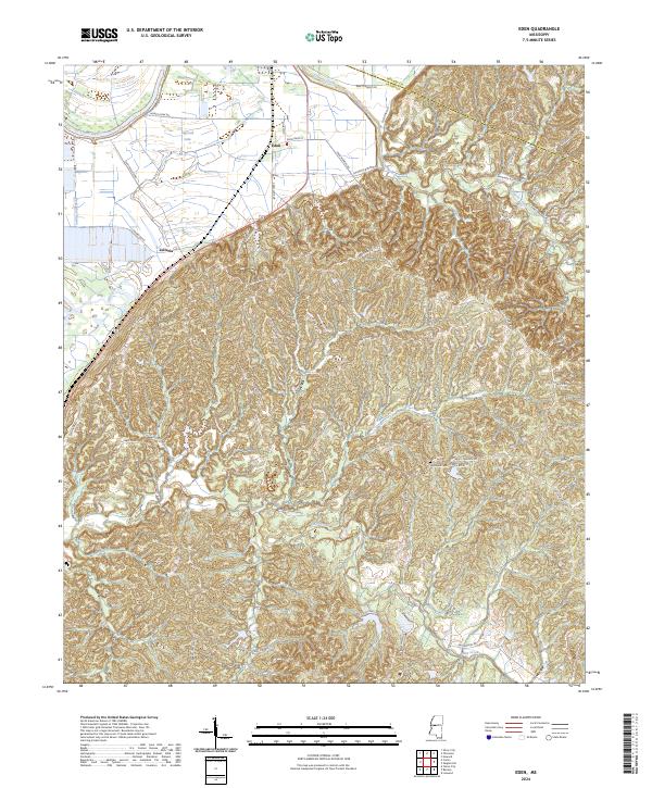
2024 Map of Eden
USGS Topo · Published 2024About this map
Eden and Zelleria serve as the primary focal points of this settlement landscape in Yazoo County, where the flat, fertile delta meets the rising bluff lines. The western edge of the quadrangle is defined by the winding course of the Yazoo River and the low-lying waters of Ingersoll Lake and Dead Man Bayou, while the northeast corner reaches into the Hillside National Wildlife Refuge. The transition from the river bottom to the hills is marked by numerous family-named roads and drainage systems, including Tesheva Creek and Piney Creek. Genealogists may find particular interest in the location of Hardshell Cem, situated among the complex network of rural routes like Morning Star Hill Rd and Graball Freerun Rd. The map illustrates a contemporary rural environment where agriculture in the bottoms remains a primary driver of the local geography.
Find a feature on this map
55 named features on this map. Tap any name to fly to it.
Don’t see what you’re looking for? This feature index may not catch every label — zoom into the map to look around manually.
Map Details
Editions of this 2024 Eden Map
This is the sole edition of this map. No revisions or reprints were ever made.
Other maps of this area

1940 · Lexington
USGS Topo · 1:62,500

1940 · Mileston
USGS Topo · 1:62,500

1953 · Greenwood
USGS Topo · 1:250,000

1954 · Mileston
USGS Topo · 1:62,500

1955 · Jackson
USGS Topo · 1:250,000

1956 · Greenwood
USGS Topo · 1:250,000

1957 · Lexington
USGS Topo · 1:62,500

1958 · Lexington
USGS Topo · 1:62,500

1961 · Jackson
USGS Topo · 1:250,000

1961 · Valley
USGS Topo · 1:62,500