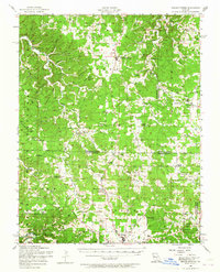
1954 Map of Edgar Springs
USGS Topo · Published 1965About this map
Edgar Springs and the surrounding Ozark plateau of the Mark Twain National Forest are defined by a complex network of ridges and hollows, including Chambers Ridge and Democrat Ridge. This mid-century survey reveals a landscape where deep-cut valleys like Spring Hollow and Wolf Hollow dictated the location of early settlements and rural infrastructure. The area is exceptionally dense with country schools and family burial grounds, such as Mt Tabor School, Blooming Rose School, and Mitchell Cemetery, documenting the community clusters of Phelps, Dent, and Texas counties.
Find a feature on this map
104 named features on this map. Tap any name to fly to it.
Don’t see what you’re looking for? This feature index may not catch every label — zoom into the map to look around manually.
Map Details
Editions of this 1954 Edgar Springs Map
2 editions found
Other maps of this area

1912 · Rolla
USGS Topo · 1:62,500

1928 · Meramec Spring
USGS Topo · 1:62,500

1932 · Cedar Grove
USGS Topo · 1:48,000

1936 · Waynesville
USGS Topo · 1:48,000

1937 · Edgar Springs
USGS Topo · 1:48,000

1941 · Big Piney
USGS Topo · 1:62,500

1941 · Salem
USGS Topo · 1:62,500

1941 · Bado
USGS Topo · 1:62,500

1942 · Waynesville
USGS Topo · 1:62,500

1943 · Big Piney
USGS Topo · 1:62,500