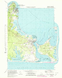
1972 Map of Edgartown
USGS Topo · Published 1979About this map
Oak Bluffs and Edgartown anchor this detailed coastal survey of Martha’s Vineyard, revealing the island’s landscape just after the mid-century. From the harbor at Edgartown Harbor to the eastern reaches of Chappaquiddick Island, the map documents a mix of seasonal resort infrastructure and deep-rooted local landmarks. Coastal navigation is marked by the East Chop Light and the Lighthouse near Chappaquiddick Pt, while the interior shows the grid of the Martha's Vineyard State Forest and several small airfields like Trade Wind Airport and Katama Air Park. Genealogists and local historians will find value in the specific locations of the New Westside Cem, Sacred Heart Cem, and an old Burying Ground near Clevelandtown. The survey captures the intricate shoreline of the Edgartown Great Pond and the barrier beach at Joseph Sylvia State Beach Park, showing the delicate balance between the Atlantic and the island's inland coves.
Find a feature on this map
126 named features on this map. Tap any name to fly to it.
Don’t see what you’re looking for? This feature index may not catch every label — zoom into the map to look around manually.
Map Details
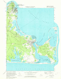
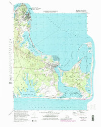
Editions of this 1972 Edgartown Map
3 editions found
Other maps of this area

1887 · Marthas Vineyard
USGS Topo · 1:62,500

1889 · Marthas Vineyard
USGS Topo · 1:62,500

1894 · Marthas Vineyard
USGS Topo · 1:62,500

1942 · Marthas Vineyard
USGS Topo · 1:125,000

1942 · Nantucket
USGS Topo · 1:125,000

1944 · Tisbury Great Pond
USGS Topo · 1:31,680

1944 · Vineyard Haven
USGS Topo · 1:31,680
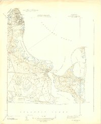
1944 · Edgartown
USGS Topo · 1:31,680

1947 · Providence
USGS Topo · 1:250,000

1948 · Providence
USGS Topo · 1:250,000