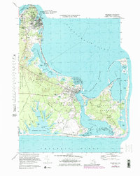
1972 Map of Edgartown
USGS Topo · Published 1979About this map
The coastal settlements of Oak Bluffs and Edgartown anchor this detailed study of eastern Martha's Vineyard, where the maritime character of the islands is defined by a complex network of ponds and coves. From the northern heights of East Chop down to the barrier beach of South Beach, the map traces a landscape of seasonal residency and local aviation, evidenced by the Trade Wind Airport and Katama Air Park. On Chappaquiddick Island, the terrain rises at Sampson Hill and Wasque Hill, overlooking the secluded waters of Cape Poge Bay and Pocha Pond.
Find a feature on this map
104 named features on this map. Tap any name to fly to it.
Don’t see what you’re looking for? This feature index may not catch every label — zoom into the map to look around manually.
Map Details
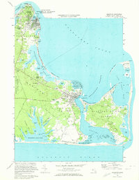
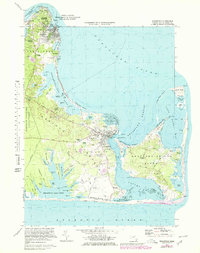
Editions of this 1972 Edgartown Map
3 editions found
Other maps of this area

1887 · Marthas Vineyard
USGS Topo · 1:62,500

1889 · Marthas Vineyard
USGS Topo · 1:62,500

1894 · Marthas Vineyard
USGS Topo · 1:62,500

1942 · Marthas Vineyard
USGS Topo · 1:125,000

1942 · Nantucket
USGS Topo · 1:125,000

1944 · Tisbury Great Pond
USGS Topo · 1:31,680

1944 · Vineyard Haven
USGS Topo · 1:31,680
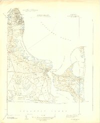
1944 · Edgartown
USGS Topo · 1:31,680

1947 · Providence
USGS Topo · 1:250,000

1948 · Providence
USGS Topo · 1:250,000