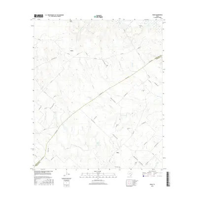
2016 Map of Edge
USGS Topo · Published 2016About this map
The Old Spanish Rd cuts a long diagonal across this rural landscape where Robertson and Brazos counties meet. This area, largely defined by its network of creeks and small family cemeteries, centers on the small settlements of Edge and Eaton. Local history is deeply embedded in the land, with numerous burial grounds such as Shiloh Cem and Anderson Cem serving as landmarks for the surrounding homesteads. The terrain is a complex web of drainage including Devils Jump Cr and Snake Br, which feed into localized catchments like Matejka Lake and Stueve Lake. The road names themselves, such as Edge School House Rd and House Cemetery Rd, suggest a community built around foundational local institutions and family estates in the Texas post-oak savannah.
Find a feature on this map
57 named features on this map. Tap any name to fly to it.
Don’t see what you’re looking for? This feature index may not catch every label — zoom into the map to look around manually.
Map Details
Editions of this 2016 Edge Map
This is the sole edition of this map. No revisions or reprints were ever made.
Other maps of this area
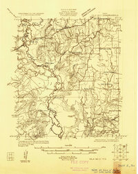
1925 · Iola No 2
USGS Topo · 1:48,000
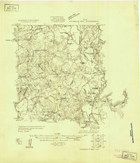
1925 · Marquez No. 4
USGS Topo · 1:48,000
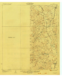
1927 · Marquez
USGS Topo · 1:62,500
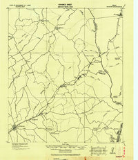
1930 · Marquez
USGS Topo · 1:62,500
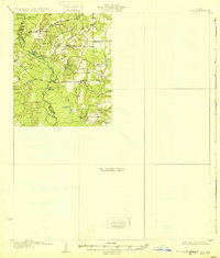
1931 · Iola
USGS Topo · 1:62,500

1954 · Waco
USGS Topo · 1:250,000

1954 · Austin
USGS Topo · 1:250,000

1955 · Waco
USGS Topo · 1:250,000
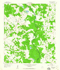
1959 · Clear Lake
USGS Topo · 1:24,000
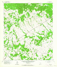
1962 · Edge
USGS Topo · 1:24,000