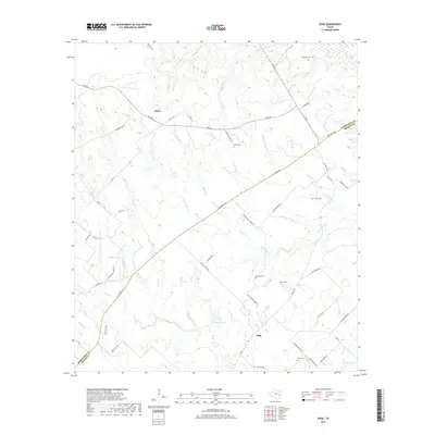
2019 Map of Edge
USGS Topo · Published 2019About this map
The Old Spanish Rd serves as a prominent diagonal axis across this landscape, tracing an ancient transportation corridor through the rolling country between Eaton and Edge. This 2019 survey documents the rural character of the Robertson and Brazos county line, where small settlements are anchored by deep-rooted local landmarks. The area is notable for its numerous family and community burial grounds, including Shiloh Cem, Concord Cem, and House Cem, which provide significant points of interest for genealogical research. Water features such as Matejka Lake, Stuewe Lake, and Devils Jump Cr define the drainage patterns of the region. A network of secondary routes like Edge School House Rd and House Cemetery Rd connects these landmarks, illustrating the enduring settlement patterns and land divisions of this part of East Central Texas.
Find a feature on this map
59 named features on this map. Tap any name to fly to it.
Don’t see what you’re looking for? This feature index may not catch every label — zoom into the map to look around manually.
Map Details
Editions of this 2019 Edge Map
This is the sole edition of this map. No revisions or reprints were ever made.
Other maps of this area
1925 · Iola No 2
USGS Topo · 1:48,000
1925 · Marquez No. 4
USGS Topo · 1:48,000
1927 · Marquez
USGS Topo · 1:62,500
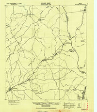
1930 · Marquez
USGS Topo · 1:62,500
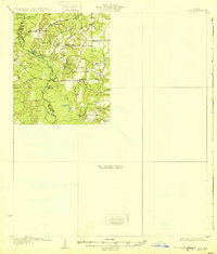
1931 · Iola
USGS Topo · 1:62,500

1954 · Waco
USGS Topo · 1:250,000

1954 · Austin
USGS Topo · 1:250,000

1955 · Waco
USGS Topo · 1:250,000
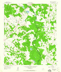
1959 · Clear Lake
USGS Topo · 1:24,000
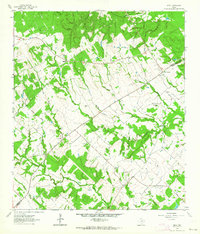
1962 · Edge
USGS Topo · 1:24,000