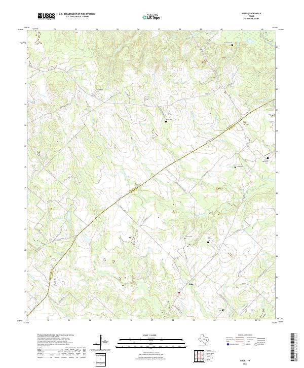
2022 Map of Edge
USGS Topo · Published 2022About this map
The boundary line between Robertson and Brazos Counties bisects this rural Texas landscape, following the diagonal path of Co Line Rd. The settlement of Edge serves as a local hub near the southern border, connected to the surrounding countryside by roads like FM 974 and Edge School House Rd. To the north, the community of Eaton sits along FM 2446, surrounded by a network of creeks including Devils Jump Cr, Snake Br, and Smith Br.
Find a feature on this map
58 named features on this map. Tap any name to fly to it.
Don’t see what you’re looking for? This feature index may not catch every label — zoom into the map to look around manually.
Map Details
Editions of this 2022 Edge Map
This is the sole edition of this map. No revisions or reprints were ever made.
Other maps of this area

1925 · Iola No 2
USGS Topo · 1:48,000

1925 · Marquez No. 4
USGS Topo · 1:48,000

1927 · Marquez
USGS Topo · 1:62,500

1930 · Marquez
USGS Topo · 1:62,500

1931 · Iola
USGS Topo · 1:62,500

1954 · Waco
USGS Topo · 1:250,000

1954 · Austin
USGS Topo · 1:250,000

1955 · Waco
USGS Topo · 1:250,000

1959 · Clear Lake
USGS Topo · 1:24,000

1962 · Edge
USGS Topo · 1:24,000