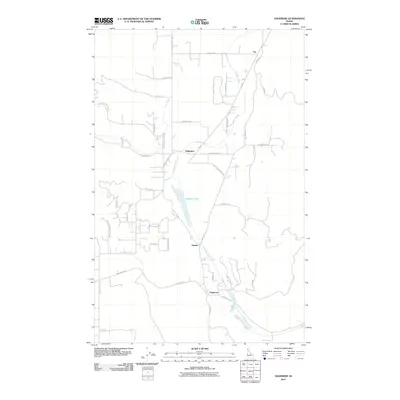
2011 Map of Edgemere
USGS Topo · Published 2011About this map
Edgemere and Harlem anchor this northern Idaho landscape, where the drainage of Hoodoo Creek dictates the local geography. The map reveals a transition between the foothills of Hoo Doo Mountain Rd and the valley floor where Hoodoo Lake sits as a prominent central feature. Small settlements like Vay and Clagstone are connected by a network of rural roads, many of which carry names reflecting the early infrastructure of the region, such as Old Schoolhouse Rd and Railroad Rd. The presence of the Spirit Lake Cut Off indicates historical transit patterns through the timbered terrain, while more recent developments are evidenced by residential labels like Chip N Dale Rd and Ahlers Rd. This record provides a clear view of the rural homesteads and waterways that define the northern Bonner County backcountry.
Find a feature on this map
42 named features on this map. Tap any name to fly to it.
Don’t see what you’re looking for? This feature index may not catch every label — zoom into the map to look around manually.
Map Details
Editions of this 2011 Edgemere Map
This is the sole edition of this map. No revisions or reprints were ever made.
Other maps of this area

1901 · Sandpoint
USGS Topo · 1:125,000

1903 · Rathdrum
USGS Topo · 1:125,000

1911 · Priest Lake
USGS Topo · 1:250,000

1911 · Sandpoint
USGS Topo · 1:125,000

1913 · Priest Lake
USGS Topo · 1:250,000

1955 · Spokane
USGS Topo · 1:250,000

1958 · Spokane
USGS Topo · 1:250,000

1958 · Sandpoint
USGS Topo · 1:250,000

1961 · Spirit Lake East
USGS Topo · 1:24,000

1961 · Athol
USGS Topo · 1:24,000