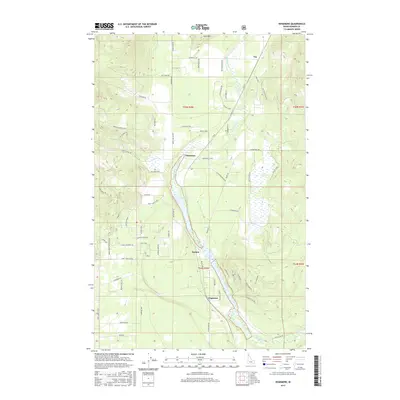
2017 Map of Edgemere
USGS Topo · Published 2017About this map
Hoodoo Lake and its associated wetlands define the central valley of this Bonner County landscape, where the settlements of Edgemere, Harlem, and Clagstone are situated along the north-south corridor. The terrain rises sharply to the west toward Horn Mtn and the heights accessed by Hoodoo Mountain Rd, while Hoodoo Cr meanders through the lowlands.
Find a feature on this map
66 named features on this map. Tap any name to fly to it.
Don’t see what you’re looking for? This feature index may not catch every label — zoom into the map to look around manually.
Map Details
Editions of this 2017 Edgemere Map
This is the sole edition of this map. No revisions or reprints were ever made.
Other maps of this area
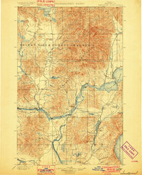
1901 · Sandpoint
USGS Topo · 1:125,000
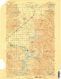
1903 · Rathdrum
USGS Topo · 1:125,000
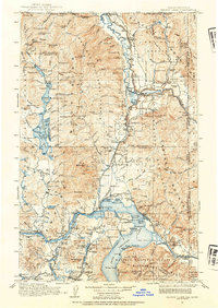
1911 · Priest Lake
USGS Topo · 1:250,000
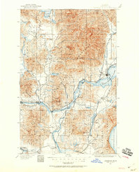
1911 · Sandpoint
USGS Topo · 1:125,000
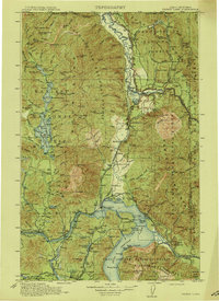
1913 · Priest Lake
USGS Topo · 1:250,000
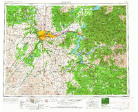
1955 · Spokane
USGS Topo · 1:250,000
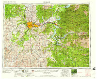
1958 · Spokane
USGS Topo · 1:250,000
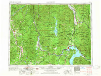
1958 · Sandpoint
USGS Topo · 1:250,000
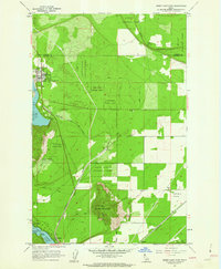
1961 · Spirit Lake East
USGS Topo · 1:24,000
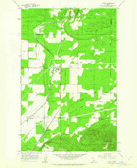
1961 · Athol
USGS Topo · 1:24,000