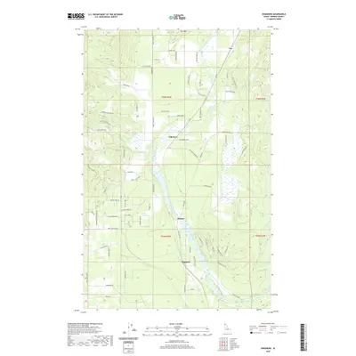
2020 Map of Edgemere
USGS Topo · Published 2020About this map
Hoodoo Creek winds through the heart of this North Idaho landscape, defining a wetland corridor that connects the small communities of Edgemere and Harlem. Located in Bonner County, this region shows a transition from the elevated terrain of Horn Mtn in the north toward the lower meadows near Clagstone. The map reveals a network of rural routes and family-named roads such as Diamond B Rd and Wild Meadows RD, which suggest a contemporary landscape of small holdings and ranching.
Find a feature on this map
68 named features on this map. Tap any name to fly to it.
Don’t see what you’re looking for? This feature index may not catch every label — zoom into the map to look around manually.
Map Details
Editions of this 2020 Edgemere Map
This is the sole edition of this map. No revisions or reprints were ever made.
Other maps of this area

1901 · Sandpoint
USGS Topo · 1:125,000

1903 · Rathdrum
USGS Topo · 1:125,000

1911 · Priest Lake
USGS Topo · 1:250,000

1911 · Sandpoint
USGS Topo · 1:125,000

1913 · Priest Lake
USGS Topo · 1:250,000

1955 · Spokane
USGS Topo · 1:250,000

1958 · Spokane
USGS Topo · 1:250,000

1958 · Sandpoint
USGS Topo · 1:250,000

1961 · Spirit Lake East
USGS Topo · 1:24,000

1961 · Athol
USGS Topo · 1:24,000