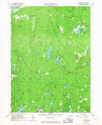
1965 Map of Edgemere
USGS Topo · Published 1967About this map
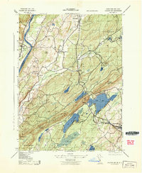
Highland swamps and glacial lakes define this interior portion of the Poconos in the mid-1960s. The landscape is dominated by vast tracts of State Forest and a series of recreational camps and residential developments that signify the area's mid-century identity. Sagamore Estates sits in the northeast, while localized activity centers around New Jersey Camp, Camp Speers, and Camp Massad. The terrain is a complex network of ridges like Aces Ridge and Tarburner Ridge, interspersed with significant wetlands such as Dark Swamp and Bear Rock Swamp.
Find a feature on this map
68 named features on this map. Tap any name to fly to it.
Don’t see what you’re looking for? This feature index may not catch every label — zoom into the map to look around manually.
Map Details
Editions of this 1965 Edgemere Map
4 editions found
Other maps of this area

1891 · Wallpack
USGS Topo · 1:62,500

1893 · Wallpack
USGS Topo · 1:62,500

1913 · Milford
USGS Topo · 1:62,500

1915 · Milford
USGS Topo · 1:62,500

1924 · Bushkill
USGS Topo · 1:48,000

1935 · Hawley
USGS Topo · 1:62,500

1938 · Hawley
USGS Topo · 1:62,500

1943 · Bushkill
USGS Topo · 1:62,500

1943 · Lake Maskenozha
USGS Topo · 1:31,680
1943 · Culvers Gap
USGS Topo · 1:31,680
Featured Places
- Blooming Grove Township, PA
- Shohola Township, PA
- Birchwood Lakes, Delaware Township
- Delaware Township, PA
- Dingman Township, PA