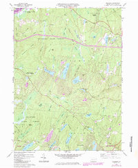
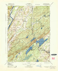
1965 Map of Edgemere
USGS Topo · Published 1984About this map
Delaware State Forest and the State Game Lands No 180 dominate this part of Pike County, where the high ridges of the Poconos give way to a dense network of glacial ponds and wetlands. The settlement at Edgemere sits near the Stillwater Natural Area, surrounded by several mid-century recreational sites including Camp Speers, Camp Massad, and the New Jersey Camp. These developments illustrate the era's transition from traditional logging and hunting towards a seasonal resort economy centered around water bodies like Sunrise Lake and Gold Key Lake.
Find a feature on this map
59 named features on this map. Tap any name to fly to it.
Don’t see what you’re looking for? This feature index may not catch every label — zoom into the map to look around manually.
Map Details
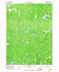
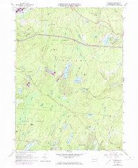
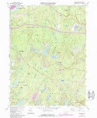
Editions of this 1965 Edgemere Map
4 editions found
Other maps of this area

1891 · Wallpack
USGS Topo · 1:62,500

1893 · Wallpack
USGS Topo · 1:62,500

1913 · Milford
USGS Topo · 1:62,500

1915 · Milford
USGS Topo · 1:62,500

1924 · Bushkill
USGS Topo · 1:48,000

1935 · Hawley
USGS Topo · 1:62,500

1938 · Hawley
USGS Topo · 1:62,500

1943 · Bushkill
USGS Topo · 1:62,500

1943 · Lake Maskenozha
USGS Topo · 1:31,680
1943 · Culvers Gap
USGS Topo · 1:31,680
Featured Places
- Blooming Grove Township, PA
- Shohola Township, PA
- Birchwood Lakes, Delaware Township
- Delaware Township, PA
- Dingman Township, PA