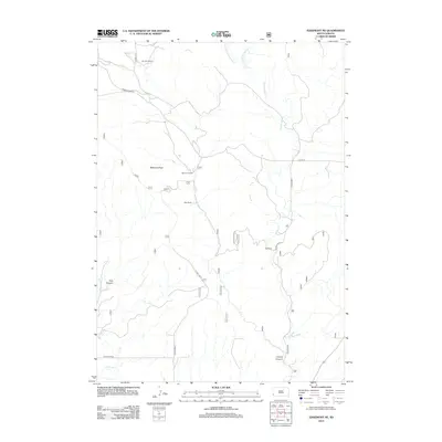
2012 Map of Edgemont NE
USGS Topo · Published 2012About this map
Robinson Flats dominates the central portion of this Custer County landscape, characterized by the scattered agricultural operations typical of South Dakota's semi-arid rangelands. The 2012 survey illustrates a network of rural homesteads including the Johnson Ranch, Robinson Ranch, Hay Ranch, and Fay Ranch, each strategically positioned near water sources or along the section lines. The drainage patterns are defined by the Hawkwright Cr and its eastern and western forks, which carve through the high ground. To the south and west, the terrain becomes more broken, leading into geological features like Coal Canyon and Craven Canyon. The transport network relies on gravel and unimproved roads such as Pilger and Barker Dome Rd, reflecting the remote and agrarian nature of the district.
Find a feature on this map
20 named features on this map. Tap any name to fly to it.
Don’t see what you’re looking for? This feature index may not catch every label — zoom into the map to look around manually.
Map Details
Editions of this 2012 Edgemont NE Map
This is the sole edition of this map. No revisions or reprints were ever made.
Other maps of this area

1896 · Harney Peak
USGS Topo · 1:125,000

1901 · Harney Peak
USGS Topo · 1:125,000

1902 · Edgemont
USGS Topo · 1:125,000

1950 · Edgemont
USGS Topo · 1:24,000

1950 · Edgemont SW
USGS Topo · 1:24,000

1950 · Burdock
USGS Topo · 1:24,000

1950 · Edgemont NE
USGS Topo · 1:24,000

1950 · Minnekahta
USGS Topo · 1:24,000

1950 · Flint Hill
USGS Topo · 1:24,000

1954 · Jewel Cave SE
USGS Topo · 1:24,000