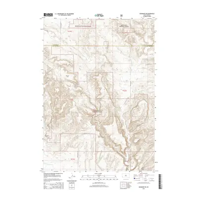
2015 Map of Edgemont NE
USGS Topo · Published 2015About this map
Black Hills National Forest land dominates this section of the southwestern Black Hills, characterized by a complex network of drainages and high plateaus. The terrain is deeply incised by significant geomorphic features such as Red Canyon, Coal Canyon, and Craven Canyon, which transition toward the southern plains. These canyons served as vital corridors for early travel, evidenced by the modern Red Canyon Rd following the natural floor of its namesake canyon. A Stone Quarry located near the southern edge indicates localized industrial activity amid the wilderness. Higher elevations include Robinson Flats and the prominent Pilger Mountain Rd, while the hydrography is defined by ephemeral reaches like Driftwood Cr and Hawkright Cr. This landscape reflects the intersection of federal forest management and the traditional ranching and resource extraction typical of the Custer and Fall River county line area.
Find a feature on this map
24 named features on this map. Tap any name to fly to it.
Don’t see what you’re looking for? This feature index may not catch every label — zoom into the map to look around manually.
Map Details
Editions of this 2015 Edgemont NE Map
This is the sole edition of this map. No revisions or reprints were ever made.
Other maps of this area
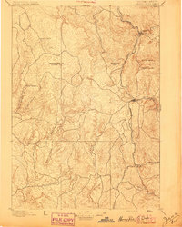
1896 · Harney Peak
USGS Topo · 1:125,000
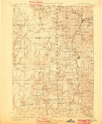
1901 · Harney Peak
USGS Topo · 1:125,000
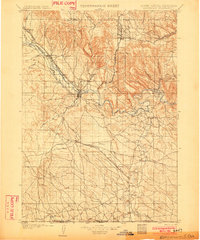
1902 · Edgemont
USGS Topo · 1:125,000
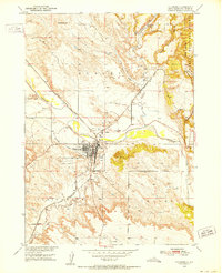
1950 · Edgemont
USGS Topo · 1:24,000
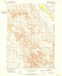
1950 · Edgemont SW
USGS Topo · 1:24,000
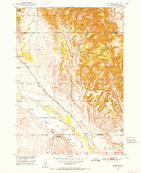
1950 · Burdock
USGS Topo · 1:24,000
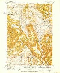
1950 · Edgemont NE
USGS Topo · 1:24,000
1950 · Minnekahta
USGS Topo · 1:24,000
1950 · Flint Hill
USGS Topo · 1:24,000
1954 · Jewel Cave SE
USGS Topo · 1:24,000