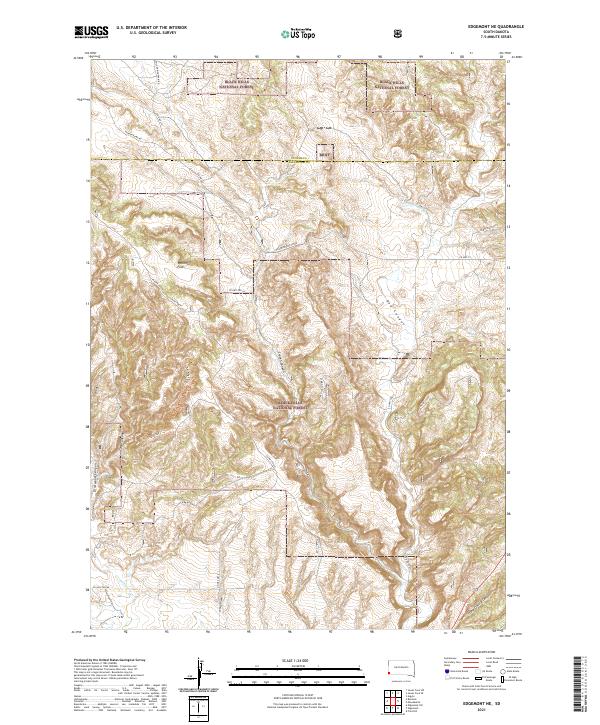
2021 Map of Edgemont NE
USGS Topo · Published 2021About this map
Black Hills National Forest land dominates the landscape of this southwestern South Dakota region, where the county line between Custer and Fall River counties bisects the terrain. The area is defined by a series of deep drainage systems and prominent plateaus, such as Robinson Flats and the extensive Red Canyon. These landforms created a complex network for early travel and resource extraction, evidenced by features like Stone Quarry Canyon and the Coal Ridge Trl.
Find a feature on this map
27 named features on this map. Tap any name to fly to it.
Don’t see what you’re looking for? This feature index may not catch every label — zoom into the map to look around manually.
Map Details
Editions of this 2021 Edgemont NE Map
This is the sole edition of this map. No revisions or reprints were ever made.
Other maps of this area

1896 · Harney Peak
USGS Topo · 1:125,000

1901 · Harney Peak
USGS Topo · 1:125,000

1902 · Edgemont
USGS Topo · 1:125,000

1950 · Edgemont
USGS Topo · 1:24,000

1950 · Edgemont SW
USGS Topo · 1:24,000

1950 · Burdock
USGS Topo · 1:24,000

1950 · Edgemont NE
USGS Topo · 1:24,000

1950 · Minnekahta
USGS Topo · 1:24,000

1950 · Flint Hill
USGS Topo · 1:24,000

1954 · Jewel Cave SE
USGS Topo · 1:24,000