Loading...
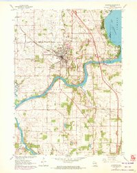
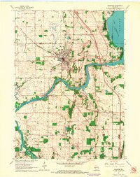
Loading map...1961 Map of Edgerton
USGS Topo · Published 1972About this map
Edgerton stands as a hub of rail and water activity in this early 1960s survey, with 1971 revisions highlighting the town's expansion. The Chicago Milwaukee ST Paul And Pacific railroad cuts through the center of the community, which is flanked by Legion Park and Fassett Cemetery. To the northeast, the shoreline of Lake Koshkonong meets the Dane and Jefferson County lines, while the Rock River winds southward through Newville and Indianford.
Find a feature on this map
37 named features on this map. Tap any name to fly to it.
Don’t see what you’re looking for? This feature index may not catch every label — zoom into the map to look around manually.
Map Details
Date Portrayed1961
Date Published1972
PublisherU.S. Geological Survey
Map TypeTopographic
Scale1:24,000
Physical Dimensions21.54 x 27.25 inches
Editions of this 1961 Edgerton Map
2 editions found
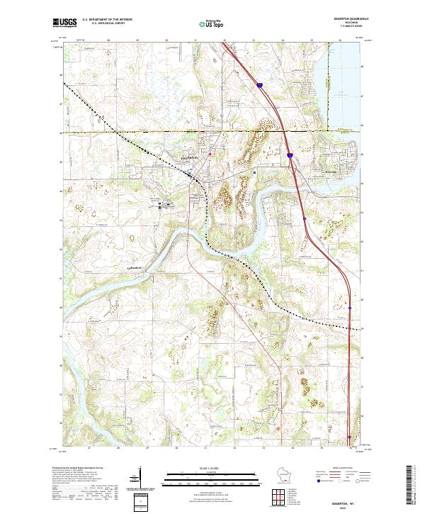
Historical Maps of Edgerton Through Time
Featured Locations
Source Details
SourceU.S. Geological Survey
CopyrightPublic Domain