
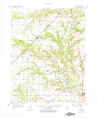
1956 Map of Edgewood
USGS Topo · Published 1957About this map
The Little Wabash River and Dismal Creek carve through the landscape of the Illinois interior, anchoring a mid-century agricultural and industrial network. In the north, the junction of the Illinois Central and Baltimore And Ohio railroads at Edgewood highlights a period when rail connectivity defined regional growth. The map reveals a high density of rural institutions, including dozens of family and community burial grounds such as Crockett Cem and Old Mason Cem, alongside country schools like Miletus Sch. This 1950s study also documents a shift in the local economy, as numerous Oil Wells are scattered throughout Larkinsburg and Mason townships, while some early structures like the Fender Sch have already begun to fade from active use. To the south, the village of Louisville serves as a key local center, nestled near the banks of the river before it meets Lucas Creek.
Find a feature on this map
79 named features on this map. Tap any name to fly to it.
Don’t see what you’re looking for? This feature index may not catch every label — zoom into the map to look around manually.
Map Details
Editions of this 1956 Edgewood Map
2 editions found
Other maps of this area

1934 · Salem
USGS Topo · 1:62,500

1938 · Salem
USGS Topo · 1:62,500

1941 · St. Elmo
USGS Topo · 1:62,500

1945 · St. Elmo
USGS Topo · 1:62,500

1945 · Kinmundy
USGS Topo · 1:62,500

1947 · Kinmundy
USGS Topo · 1:62,500

1948 · Flora
USGS Topo · 1:62,500

1949 · Flora
USGS Topo · 1:62,500

1950 · Effingham
USGS Topo · 1:62,500

1951 · Effingham
USGS Topo · 1:62,500