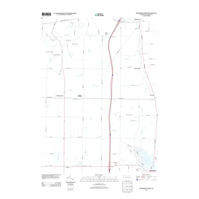
2013 Map of Edinboro North
USGS Topo · Published 2013About this map
Middleboro and the surrounding agricultural hamlets north of Edinboro define this region of Erie County. The landscape is carved by a dense network of waterways, including Elk Creek, Porter Run, and Conneauttee Creek, which converge near the recreational hub of Edinboro Lake. The 21st-century infrastructure is anchored by Interstate 79, yet the map retains the footprint of older crossroads communities like Mishler Corners, Branchville, and Franklin Center.
Find a feature on this map
73 named features on this map. Tap any name to fly to it.
Don’t see what you’re looking for? This feature index may not catch every label — zoom into the map to look around manually.
Map Details
Editions of this 2013 Edinboro North Map
This is the sole edition of this map. No revisions or reprints were ever made.
Other maps of this area

1899 · Erie
USGS Topo · 1:62,500

1900 · Girard
USGS Topo · 1:62,500

1900 · Erie
USGS Topo · 1:62,500

1900 · Fairview
USGS Topo · 1:62,500

1923 · Cambridge Springs
USGS Topo · 1:62,500

1925 · Cambridge Springs
USGS Topo · 1:62,500

1943 · Cambridge Springs
USGS Topo · 1:62,500

1950 · Cleveland
USGS Topo · 1:250,000

1950 · Erie
USGS Topo · 1:250,000

1956 · Cleveland
USGS Topo · 1:250,000