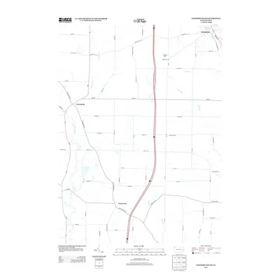
2013 Map of Edinboro South
USGS Topo · Published 2013About this map
Edinboro sits at the northern edge of this 2013 survey, where the waters of Edinboro Lake feed into Conneauttee Cr. The landscape is defined by the drainage patterns of the French Creek watershed, most notably the meandering Cussewago Cr which flows southward through the western half of the region. This area retains a distinctly rural character, with the small settlements of Crossingville and Mosiertown serving as historic local hubs amidst a network of farm-to-market roads.
Find a feature on this map
58 named features on this map. Tap any name to fly to it.
Don’t see what you’re looking for? This feature index may not catch every label — zoom into the map to look around manually.
Map Details
Editions of this 2013 Edinboro South Map
This is the sole edition of this map. No revisions or reprints were ever made.
Other maps of this area

1900 · Girard
USGS Topo · 1:62,500

1906 · Linesville
USGS Topo · 1:62,500

1908 · Linesville
USGS Topo · 1:62,500

1923 · Meadville
USGS Topo · 1:62,500

1923 · Cambridge Springs
USGS Topo · 1:62,500

1925 · Meadville
USGS Topo · 1:62,500

1925 · Cambridge Springs
USGS Topo · 1:62,500

1943 · Meadville
USGS Topo · 1:62,500

1943 · Cambridge Springs
USGS Topo · 1:62,500

1950 · Cleveland
USGS Topo · 1:250,000