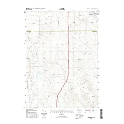
2016 Map of Edinboro South
USGS Topo · Published 2016About this map
Edinboro Lake and the southern reaches of Edinboro anchor this landscape where the Univ of Pennsylvania overlooks the banks of Conneauttee Creek. The terrain is defined by a series of north-south ridges and valley floors, including Gibson Hill, which separate the drainage of Torry Run from the wetlands of Cussewago Creek. Smaller settlements like Crossingville and Mosiertown serve as rural crossroads, linked by a network of family-named roads such as Shadeland Rd and Gospel Hill Rd.
Find a feature on this map
42 named features on this map. Tap any name to fly to it.
Don’t see what you’re looking for? This feature index may not catch every label — zoom into the map to look around manually.
Map Details
Editions of this 2016 Edinboro South Map
This is the sole edition of this map. No revisions or reprints were ever made.
Other maps of this area

1900 · Girard
USGS Topo · 1:62,500

1906 · Linesville
USGS Topo · 1:62,500

1908 · Linesville
USGS Topo · 1:62,500

1923 · Meadville
USGS Topo · 1:62,500

1923 · Cambridge Springs
USGS Topo · 1:62,500

1925 · Meadville
USGS Topo · 1:62,500

1925 · Cambridge Springs
USGS Topo · 1:62,500

1943 · Meadville
USGS Topo · 1:62,500

1943 · Cambridge Springs
USGS Topo · 1:62,500

1950 · Cleveland
USGS Topo · 1:250,000