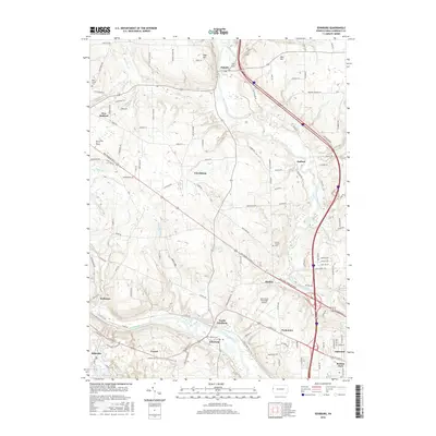
2016 Map of Edinburg
USGS Topo · Published 2016About this map
Pulaski and Edinburg anchor this 2016 study of Lawrence County, where the Shenango River and Mahoning River shape the local geography. The landscape is characterized by a high density of small named settlements and residential pockets such as Frizzleburg, Nashua, and Peanut, reflecting the region's complex rural-industrial evolution. Transportation and utility corridors, including the Ben Franklin Pkwy, cut across the terrain, linking these communities to the New Castle Municipal Airport and the New Castle Sch of Trades.
Find a feature on this map
119 named features on this map. Tap any name to fly to it.
Don’t see what you’re looking for? This feature index may not catch every label — zoom into the map to look around manually.
Map Details
Editions of this 2016 Edinburg Map
This is the sole edition of this map. No revisions or reprints were ever made.
Other maps of this area

1902 · New Castle
USGS Topo · 1:62,500

1904 · Newcastle
USGS Topo · 1:62,500

1905 · Neshannock
USGS Topo · 1:62,500

1906 · Youngstown
USGS Topo · 1:62,500

1907 · Neshannock
USGS Topo · 1:62,500

1907 · Columbiana
USGS Topo · 1:62,500

1908 · Youngstown
USGS Topo · 1:62,500

1909 · Columbiana
USGS Topo · 1:62,500

1950 · Cleveland
USGS Topo · 1:250,000

1951 · Canton
USGS Topo · 1:250,000
Featured Places
- Pulaski Township, PA
- Frizzleburg, Pulaski Township
- Mahoning Township, PA
- Neshannock Township, PA
- Edinburg, Mahoning Township