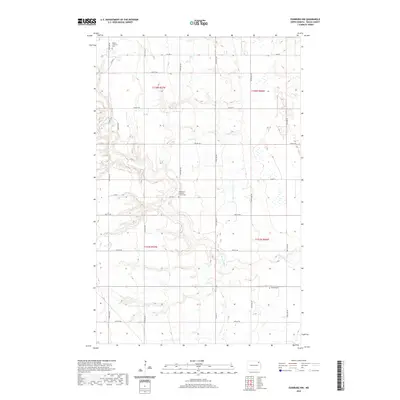
2020 Map of Edinburg NW
USGS Topo · Published 2020About this map
The S Br Park River meanders across this rural Walsh County landscape, carving a network of coulees through the agricultural sections of the Red River Valley region. This 2020 survey documents a traditional prairie settlement pattern defined by the Public Land Survey System, where section lines dictate the path of local routes like 74th St NE and 124th Ave NE. For family historians and genealogists, the map is a vital record of the area's enduring religious foundations, specifically marking the Saint Peter Lutheran Church Cem, the Odalen Lutheran Cem in the northwest, and the Golden Cem to the southeast. These sites, often situated near the quiet river branches, represent the primary anchors for the surrounding farmsteads. The inclusion of the Prairie Trl suggests a modern preservation of historic travel ways amidst the modern road grid of Co Hwy 9 and various county roads.
Find a feature on this map
27 named features on this map. Tap any name to fly to it.
Don’t see what you’re looking for? This feature index may not catch every label — zoom into the map to look around manually.
Map Details
Editions of this 2020 Edinburg NW Map
This is the sole edition of this map. No revisions or reprints were ever made.
Other maps of this area

1952 · Thief River Falls
USGS Topo · 1:250,000

1953 · Devils Lake
USGS Topo · 1:250,000

1956 · Thief River Falls
USGS Topo · 1:250,000

1956 · Devils Lake
USGS Topo · 1:250,000

1957 · Thief River Falls
USGS Topo · 1:250,000

1963 · Edinburg
USGS Topo · 1:24,000

1963 · Pleasant Valley
USGS Topo · 1:24,000

1963 · Gardar
USGS Topo · 1:24,000

1967 · Thief River Falls
USGS Topo · 1:250,000

1972 · Adams
USGS Topo · 1:24,000