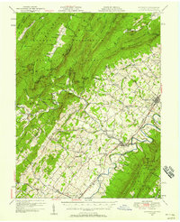
1947 Map of Edinburg
USGS Topo · Published 1958About this map
The Shenandoah Valley corridor is defined here by the parallel lines of the Southern Railway and the Lee Highway, which connect a series of established settlements including Edinburg, Woodstock, and Mt Jackson. This post-war revision captures a landscape where small rural communities like Lantz Mills and Columbia Furnace remain distinct centers of activity along Stony Creek. West of the valley floor, the terrain rises into the George Washington National Forest, where the boundary between West Virginia and Virginia follows the ridgelines of North Mountain. Local landmarks such as Camp Strawderman and Liberty Furnace highlight the area's transition from early industrial roots to recreational and agricultural uses. The map documents numerous country churches and schools, such as Union Forge Ch and Heishman Sch, that served as the social anchors for family-named gaps and hollows throughout the mountains.
Find a feature on this map
112 named features on this map. Tap any name to fly to it.
Don’t see what you’re looking for? This feature index may not catch every label — zoom into the map to look around manually.
Map Details
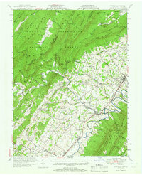
Editions of this 1947 Edinburg Map
2 editions found
Other maps of this area

1891 · Romney
USGS Topo · 1:125,000

1892 · Woodstock
USGS Topo · 1:125,000

1893 · Luray
USGS Topo · 1:125,000

1894 · Winchester
USGS Topo · 1:125,000

1905 · Luray
USGS Topo · 1:125,000

1920 · Moorefield
USGS Topo · 1:62,500

1921 · Orkney Springs
USGS Topo · 1:48,000

1921 · Moorefield
USGS Topo · 1:48,000

1922 · Moorefield
USGS Topo · 1:62,500

1922 · Wardensville
USGS Topo · 1:62,500