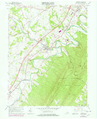
1966 Map of Edinburg
USGS Topo · Published 1978About this map
Edinburg and Woodstock serve as the primary anchors of this Shenandoah Valley landscape, situated along the winding curves of the North Fork Shenandoah River. The famous Seven Bends of the river dominate the northeast, while the massive wall of Short Mountain and Powell Mountain rises to the south within the George Washington National Forest. The map captures a moment of modern growth, with purple photorevisions highlighting changes such as the Central High School and industrial structures near the Southern railroad lines.
Find a feature on this map
49 named features on this map. Tap any name to fly to it.
Don’t see what you’re looking for? This feature index may not catch every label — zoom into the map to look around manually.
Map Details
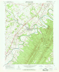
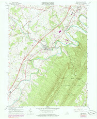
Editions of this 1966 Edinburg Map
Other maps of this area

1892 · Woodstock
USGS Topo · 1:125,000

1893 · Luray
USGS Topo · 1:125,000

1905 · Luray
USGS Topo · 1:125,000

1923 · Edinburg
USGS Topo · 1:62,500

1929 · Stony Man
USGS Topo · 1:48,000

1933 · Stony Man
USGS Topo · 1:62,500

1942 · Mt Jackson
USGS Topo · 1:62,500

1946 · Mt Jackson
USGS Topo · 1:62,500

1947 · Mt Jackson
USGS Topo · 1:62,500

1947 · Strasburg
USGS Topo · 1:62,500