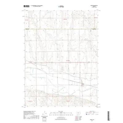
2017 Map of Edison
USGS Topo · Published 2017About this map
The Republican River valley forms the centerpiece of this Furnas County landscape, where the settlement of Edison sits at the intersection of local routes like Main St and RD 721. The area's water management is highly visible through the Cambridge Canal and a series of private or agricultural water bodies, including Gregg Reservoir, Ziebell Reservoir, and Lueking Reservoir. These features, along with named drainages such as Big Antelope Cr and Turkey Cr, illustrate the sophisticated irrigation network supporting the Nebraska plains.
Find a feature on this map
30 named features on this map. Tap any name to fly to it.
Don’t see what you’re looking for? This feature index may not catch every label — zoom into the map to look around manually.
Map Details
Editions of this 2017 Edison Map
This is the sole edition of this map. No revisions or reprints were ever made.
Other maps of this area
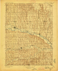
1896 · Arapahoe
USGS Topo · 1:125,000
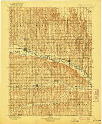
1898 · Arapahoe
USGS Topo · 1:125,000
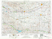
1955 · Grand Island
USGS Topo · 1:250,000
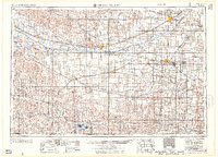
1957 · Grand Island
USGS Topo · 1:250,000
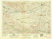
1958 · Grand Island
USGS Topo · 1:250,000
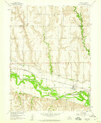
1958 · Edison
USGS Topo · 1:24,000
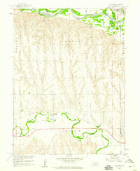
1958 · Hollinger
USGS Topo · 1:24,000
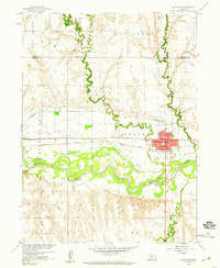
1958 · Arapahoe
USGS Topo · 1:24,000
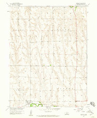
1958 · Hendley
USGS Topo · 1:24,000
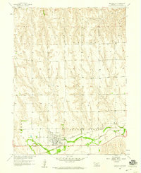
1958 · Beaver City
USGS Topo · 1:24,000