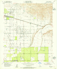
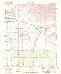
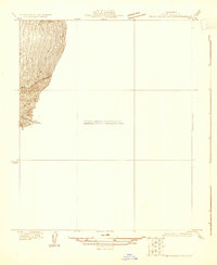
1954 Map of Edison
USGS Topo · Published 1955About this map
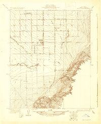
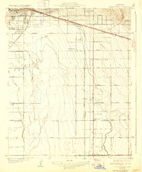
Agricultural development and petroleum extraction define this section of Kern County in the mid-1950s. The community of Edison sits near a prominent Oil Field and a local Racetrack, reflecting the region's diverse economic interests. The landscape is heavily organized by an extensive grid of service roads like Comanche Drive and Muller Road, facilitating the movement of goods between farms and rail lines.
Find a feature on this map
31 named features on this map. Tap any name to fly to it.
Don’t see what you’re looking for? This feature index may not catch every label — zoom into the map to look around manually.
Map Details
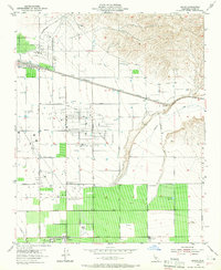
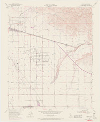
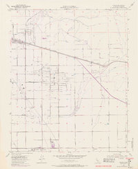
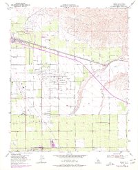
Editions of this 1954 Edison Map
6 editions found
Other maps of this area

1906 · Bakersfield
USGS Topo · 1:62,500

1914 · Caliente
USGS Topo · 1:125,000
1929 · Bena
USGS Topo · 1:31,680
1929 · Fairfax School
USGS Topo · 1:31,680

1930 · Weed Patch
USGS Topo · 1:31,680
1930 · Bear Mountain
USGS Topo · 1:31,680
1930 · Arvin
USGS Topo · 1:31,680
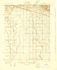
1931 · Edison
USGS Topo · 1:31,680
1932 · Bena
USGS Topo · 1:31,680
1932 · Fairfax School
USGS Topo · 1:31,680