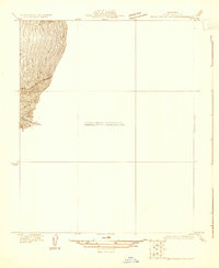
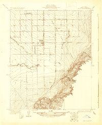
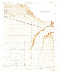
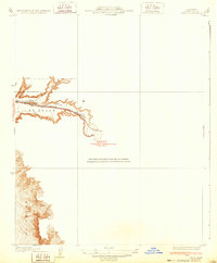
1954 Map of Edison
USGS Topo · Published 1970About this map
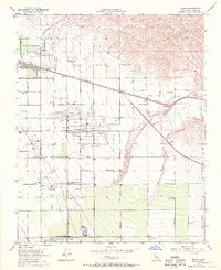
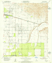
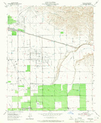
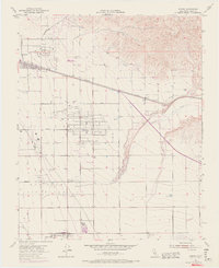
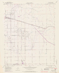
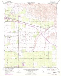
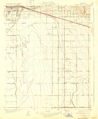
The Edison Oil Field and Mountain View Oil Field dominate this landscape, illustrating the intense industrial and agricultural development of the southern San Joaquin Valley. Surveyed mid-century with late-1960s revisions, the map reveals a grid of petroleum extraction sites like the Racetrack Field alongside organized labor settlements such as Camp 10 A and Camp 10 B. The presence of a Winery near Di Giorgio and the sprawling El Tejon Grant boundary highlight the region's diverse economic base. Linear infrastructure defines the era, from the Southern Pacific railroad tracks to the intricate network of Pipe Lines and Tower Lines crossing the plains. Water management is evident along Caliente Creek, where numerous reservoirs and a Levee system support the productive but arid land east of Bakersfield.
Find a feature on this map
37 named features on this map. Tap any name to fly to it.
Don’t see what you’re looking for? This feature index may not catch every label — zoom into the map to look around manually.
Map Details
Editions of this 1954 Edison Map
6 editions found
Other maps of this area

1906 · Bakersfield
USGS Topo · 1:62,500

1914 · Caliente
USGS Topo · 1:125,000
1929 · Bena
USGS Topo · 1:31,680
1929 · Fairfax School
USGS Topo · 1:31,680

1930 · Weed Patch
USGS Topo · 1:31,680
1930 · Bear Mountain
USGS Topo · 1:31,680
1930 · Arvin
USGS Topo · 1:31,680
1931 · Edison
USGS Topo · 1:31,680
1932 · Bena
USGS Topo · 1:31,680
1932 · Fairfax School
USGS Topo · 1:31,680