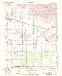
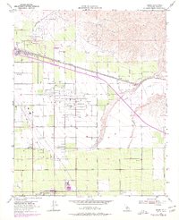
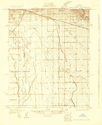
1954 Map of Edison
USGS Topo · Published 1970About this map
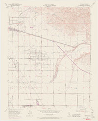
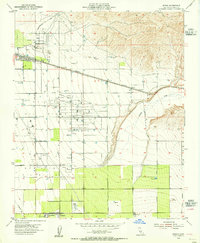
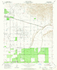
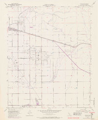
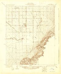
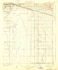
Edison and the surrounding agricultural and industrial lands of Kern County are captured here during a period of significant mid-century development. The landscape is a distinct grid of section lines and irrigation features, anchored by the large Di Giorgio settlement to the south. This area serves as a busy corridor for the Southern Pacific and A T & S F railroads, which parallel major thoroughfares like White Wolf Road and Panama Road.
Find a feature on this map
33 named features on this map. Tap any name to fly to it.
Don’t see what you’re looking for? This feature index may not catch every label — zoom into the map to look around manually.
Map Details
Editions of this 1954 Edison Map
6 editions found
Other maps of this area

1906 · Bakersfield
USGS Topo · 1:62,500

1914 · Caliente
USGS Topo · 1:125,000
1929 · Bena
USGS Topo · 1:31,680
1929 · Fairfax School
USGS Topo · 1:31,680

1930 · Weed Patch
USGS Topo · 1:31,680
1930 · Bear Mountain
USGS Topo · 1:31,680
1930 · Arvin
USGS Topo · 1:31,680
1931 · Edison
USGS Topo · 1:31,680
1932 · Bena
USGS Topo · 1:31,680
1932 · Fairfax School
USGS Topo · 1:31,680