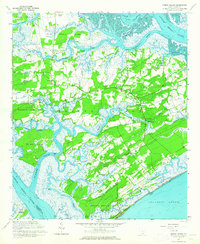
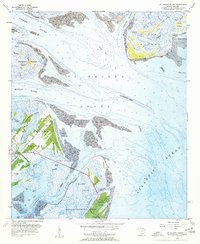
1960 Map of Edisto Island
USGS Topo · Published 1965About this map
Edisto Island and its surrounding Sea Island archipelago are defined by a complex network of tidal waterways, including the North Edisto River and the South Edisto River. This 1960 survey reflects the rural, church-centered community structure of the era, documented through numerous local landmarks like Greater Calvary Ch, Mt Olive Ch, and Bethlehem Ch. The island’s social fabric is visible in the placement of the Edisto Island Library and schools such as Edwards Sch and Edisto Sch. Along the southern coast, Edisto Beach State Park and the nearby Edisto Beach oceanfront stand as established recreation areas. The interior landscape is a mosaic of marshes and cultivated land, connected by the Intracoastal Waterway at Watts Cut and historic points like Steamboat Landing. Smaller settlements such as Little Edisto and Freedman are preserved here, alongside family-named landmarks like Rabbits Pt and Peters Pt.
Find a feature on this map
53 named features on this map. Tap any name to fly to it.
Don’t see what you’re looking for? This feature index may not catch every label — zoom into the map to look around manually.
Map Details
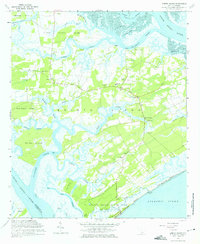
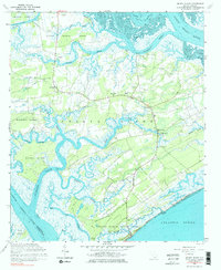
Editions of this 1960 Edisto Island Map
3 editions found
Other maps of this area

1919 · Edisto Island
USGS Topo · 1:62,500

1919 · Wadmelaw Island
USGS Topo · 1:62,500

1920 · St. Helena Sound
USGS Topo · 1:62,500

1943 · Edisto Island
USGS Topo · 1:62,500

1944 · Wadmelaw Island
USGS Topo · 1:62,500

1947 · Savannah
USGS Topo · 1:250,000

1948 · St. Helena Sound
USGS Topo · 1:62,500

1948 · Savannah
USGS Topo · 1:250,000
1956 · Edisto Beach
USGS Topo · 1:24,000
1956 · St. Helena Sound
USGS Topo · 1:24,000