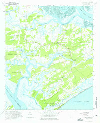
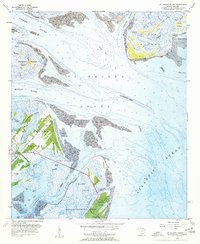
1960 Map of Edisto Island
USGS Topo · Published 1975About this map
Edisto Island and its surrounding Sea Island landscape are defined by a complex network of saltwater creeks and coastal hammocks as they appeared in the early 1960s. The interior of the island is dotted with community landmarks, particularly a high concentration of local churches such as Greater Calvary Ch, Mt Olive Ch, and Bethlehem Ch, which serve as vital anchors for settlements like Freedman and Milton. The landscape transitions from agricultural and residential zones to the marshy periphery of Scanawah Island and Bailey Island. Along the southern shore, the Edisto Beach State Park stands near the Mound and Jeremy Inlet, marking the interface with the Atlantic Ocean. This survey preserves the location of the Edwards Sch and the Edisto Island Library during a period of established island life before significant modern development altered the rural coastal character.
Find a feature on this map
57 named features on this map. Tap any name to fly to it.
Don’t see what you’re looking for? This feature index may not catch every label — zoom into the map to look around manually.
Map Details
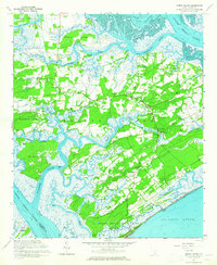
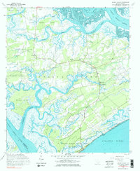
Editions of this 1960 Edisto Island Map
3 editions found
Other maps of this area

1919 · Edisto Island
USGS Topo · 1:62,500

1919 · Wadmelaw Island
USGS Topo · 1:62,500

1920 · St. Helena Sound
USGS Topo · 1:62,500

1943 · Edisto Island
USGS Topo · 1:62,500

1944 · Wadmelaw Island
USGS Topo · 1:62,500

1947 · Savannah
USGS Topo · 1:250,000

1948 · St. Helena Sound
USGS Topo · 1:62,500

1948 · Savannah
USGS Topo · 1:250,000
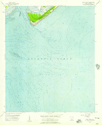
1956 · Edisto Beach
USGS Topo · 1:24,000
1956 · St. Helena Sound
USGS Topo · 1:24,000