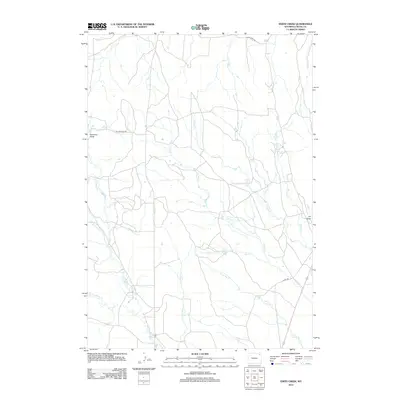
2012 Map of Edith Creek
USGS Topo · Published 2012About this map
The northern reaches of Edith Creek and its neighboring drainage systems define this section of Crook County in the early 2010s. This land is shaped by a dense network of seasonal and perennial waterways, including the confluence-bound North Deer Creek, South Deer Creek, and Crazy Creek. The presence of Oil Draw suggests the ongoing importance of energy extraction in this part of Wyoming, while land features like Hanaway Draw name the local topographic depressions between the hills. Transportation is anchored by rural routes such as Miller Creek Road and Cabin Creek Road, which provide access to the remote draws and creek beds. The map shows a landscape of ranching and resource management, where water sources like Miller Creek and Art Creek are central to the geography.
Find a feature on this map
14 named features on this map. Tap any name to fly to it.
Don’t see what you’re looking for? This feature index may not catch every label — zoom into the map to look around manually.
Map Details
Editions of this 2012 Edith Creek Map
This is the sole edition of this map. No revisions or reprints were ever made.
Other maps of this area

1905 · Devils Tower
USGS Topo · 1:125,000

1918 · Moorcroft
USGS Topo · 1:125,000

1918 · Moorcroft
USGS Topo · 1:62,500

1954 · Carlile
USGS Topo · 1:24,000

1954 · Missouri Buttes
USGS Topo · 1:24,000

1954 · Gillette
USGS Topo · 1:250,000

1955 · Gillette
USGS Topo · 1:250,000

1957 · Moorcroft
USGS Topo · 1:62,500

1957 · Oshoto
USGS Topo · 1:62,500

1958 · Gillette
USGS Topo · 1:250,000