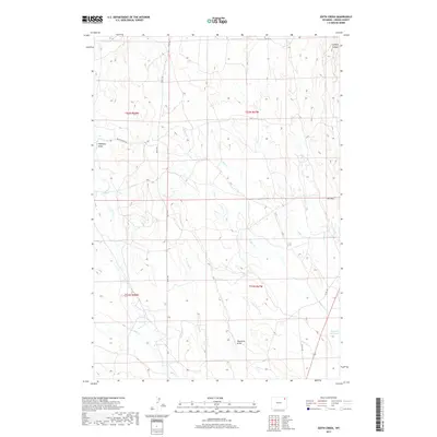
2017 Map of Edith Creek
USGS Topo · Published 2017About this map
Texas Trl cuts north-south through this section of Crook County, following a corridor that mirrors the modern drainage patterns of the high plains. The landscape is defined by an intricate network of seasonal waterways, including Edith Creek, Lone Tree Creek, and N Deer Creek, which converge as they move toward the southeastern corner of the map. A notable human-made feature is the edge of Keyhole Reservoir, appearing in the southeast near Lone Tree Creek. Industrial history is represented by Oil Draw, located in the eastern portion of the survey. The topography is marked by several named depressions such as Cyclone Canyon in the northeast and Hanaway Draw in the west, illustrating the eroded character of the terrain between Miller Creek and the Deer Creek drainages.
Find a feature on this map
24 named features on this map. Tap any name to fly to it.
Don’t see what you’re looking for? This feature index may not catch every label — zoom into the map to look around manually.
Map Details
Editions of this 2017 Edith Creek Map
This is the sole edition of this map. No revisions or reprints were ever made.
Other maps of this area
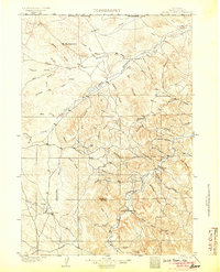
1905 · Devils Tower
USGS Topo · 1:125,000
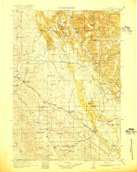
1918 · Moorcroft
USGS Topo · 1:125,000
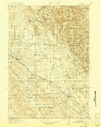
1918 · Moorcroft
USGS Topo · 1:62,500
1954 · Carlile
USGS Topo · 1:24,000
1954 · Missouri Buttes
USGS Topo · 1:24,000

1954 · Gillette
USGS Topo · 1:250,000

1955 · Gillette
USGS Topo · 1:250,000
1957 · Moorcroft
USGS Topo · 1:62,500
1957 · Oshoto
USGS Topo · 1:62,500

1958 · Gillette
USGS Topo · 1:250,000