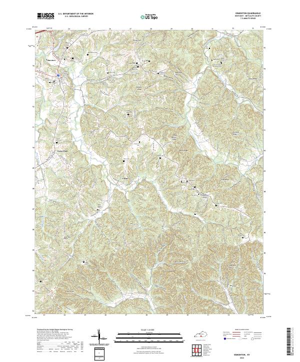
2022 Map of Edmonton
USGS Topo · Published 2022About this map
The Metcalfe County Courthouse serves as the focal point for Edmonton, situated in a region characterized by deep hollows and prominent ridges. This part of Kentucky is defined by the branching waters of the S Fork Little Barren River and the E Fork Little Barren River, which carve through the landscape to create numerous family-named landmarks like Mosby Hollow and Bragg Hollow.
Find a feature on this map
122 named features on this map. Tap any name to fly to it.
Don’t see what you’re looking for? This feature index may not catch every label — zoom into the map to look around manually.
Map Details
Editions of this 2022 Edmonton Map
This is the sole edition of this map. No revisions or reprints were ever made.
Other maps of this area

1953 · Gradyville
USGS Topo · 1:24,000

1953 · Sulphur Well
USGS Topo · 1:24,000

1953 · Sulphur Lick
USGS Topo · 1:24,000

1953 · Breeding
USGS Topo · 1:24,000

1953 · Waterview
USGS Topo · 1:24,000

1953 · Edmonton
USGS Topo · 1:24,000

1953 · Summer Shade
USGS Topo · 1:24,000

1953 · Dubre
USGS Topo · 1:24,000

1953 · East Fork
USGS Topo · 1:24,000

1956 · Corbin
USGS Topo · 1:250,000