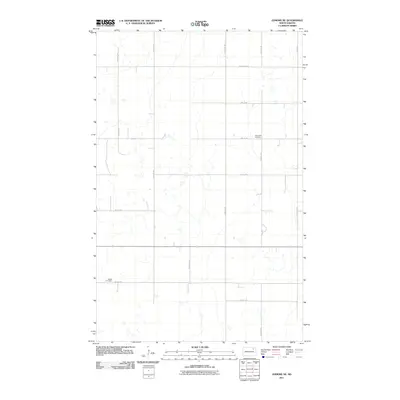
2011 Map of Edmore NE
USGS Topo · Published 2011About this map
Saint Olaf Cemetery and Sobak Cemetery provide key genealogical anchor points in this section of Walsh County. The landscape is defined by a precise section-line grid of rural roads including 106th Ave NE and 110th Ave NE, which facilitate movement between scattered farmstead sites. Major east-west thoroughfares like County Hwy 9 and 72nd St NE intersect this systematic network, reflecting the enduring township-and-range surveying that organized North Dakota's agricultural heartland. The numerous small, unnamed water bodies and depressions across the terrain suggest a prairie pothole environment, where the natural hydrology subtly deviates from the rigid human geometry of the road system.
Find a feature on this map
15 named features on this map. Tap any name to fly to it.
Don’t see what you’re looking for? This feature index may not catch every label — zoom into the map to look around manually.
Map Details
Editions of this 2011 Edmore NE Map
This is the sole edition of this map. No revisions or reprints were ever made.
Other maps of this area

1953 · Devils Lake
USGS Topo · 1:250,000

1956 · Devils Lake
USGS Topo · 1:250,000

1972 · Edmore SW
USGS Topo · 1:24,000

1972 · Nekoma
USGS Topo · 1:24,000

1972 · Osnabrock SW
USGS Topo · 1:24,000

1972 · Edmore
USGS Topo · 1:24,000

1972 · Adams SW
USGS Topo · 1:24,000

1972 · Fairdale
USGS Topo · 1:24,000

1972 · Edmore NE
USGS Topo · 1:24,000

1972 · Billings Lake
USGS Topo · 1:24,000