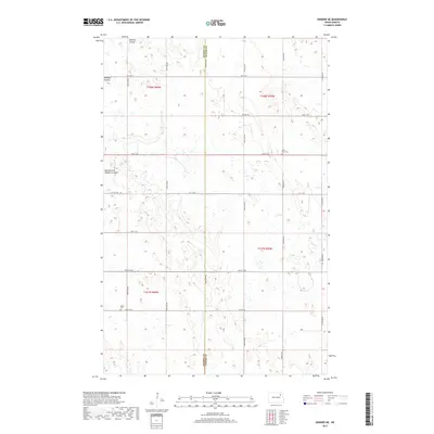
2017 Map of Edmore NE
USGS Topo · Published 2017About this map
The Ramsey and Walsh County line bisects this agricultural landscape in northeastern North Dakota. Defined by glacial depressions and the seasonal drainage of Nekoma Coulee and its East Branch, the area maintains a sparse, rural character typical of the Red River Valley’s western edge. Local history is anchored by the Saint Olaf Cem and Sobak Cem, which remain as primary markers of the early Scandinavian and European settlement patterns in the region. The map illustrates a rigid section-line road network, including Co Hwy 9 and a series of numbered township roads like 72nd St NE, which facilitate the industrial-scale farming operations that dominate the township of t158n r59w and its neighbors.
Find a feature on this map
24 named features on this map. Tap any name to fly to it.
Don’t see what you’re looking for? This feature index may not catch every label — zoom into the map to look around manually.
Map Details
Editions of this 2017 Edmore NE Map
This is the sole edition of this map. No revisions or reprints were ever made.
Other maps of this area
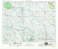
1953 · Devils Lake
USGS Topo · 1:250,000
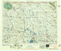
1956 · Devils Lake
USGS Topo · 1:250,000
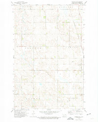
1972 · Edmore SW
USGS Topo · 1:24,000
1972 · Nekoma
USGS Topo · 1:24,000
1972 · Osnabrock SW
USGS Topo · 1:24,000
1972 · Edmore
USGS Topo · 1:24,000
1972 · Adams SW
USGS Topo · 1:24,000
1972 · Fairdale
USGS Topo · 1:24,000
1972 · Edmore NE
USGS Topo · 1:24,000
1972 · Billings Lake
USGS Topo · 1:24,000