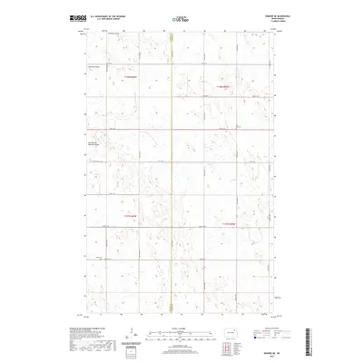
2020 Map of Edmore NE
USGS Topo · Published 2020About this map
The Ramsey and Walsh County line bisects this agricultural landscape in northeastern North Dakota, where the drainage of the Nekoma Coulee and its East Branch carve subtle depressions into the prairie. This 2020 survey illustrates a strictly organized section-line road network, where routes like 107th Ave NE and 69th St NE delineate vast farm tracts. For genealogists and local historians, the presence of Saint Olaf Cem and Sobak Cem provides specific points of interest within an otherwise sparsely settled region. These sites, along with the primitive track of the Prairie Trl, offer clues to the enduring rural heritage of this section of the Red River Valley hinterlands.
Find a feature on this map
23 named features on this map. Tap any name to fly to it.
Don’t see what you’re looking for? This feature index may not catch every label — zoom into the map to look around manually.
Map Details
Editions of this 2020 Edmore NE Map
This is the sole edition of this map. No revisions or reprints were ever made.
Other maps of this area

1953 · Devils Lake
USGS Topo · 1:250,000

1956 · Devils Lake
USGS Topo · 1:250,000

1972 · Edmore SW
USGS Topo · 1:24,000

1972 · Nekoma
USGS Topo · 1:24,000

1972 · Osnabrock SW
USGS Topo · 1:24,000

1972 · Edmore
USGS Topo · 1:24,000

1972 · Adams SW
USGS Topo · 1:24,000

1972 · Fairdale
USGS Topo · 1:24,000

1972 · Edmore NE
USGS Topo · 1:24,000

1972 · Billings Lake
USGS Topo · 1:24,000