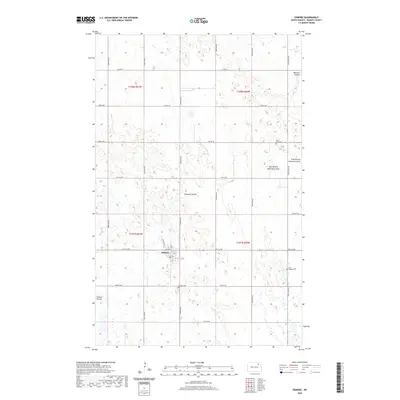
2020 Map of Edmore
USGS Topo · Published 2020About this map
Edmore anchors this Ramsey County landscape, characterized by a complex network of seasonal watercourses and prairie potholes. The drainage is defined by the winding path of Nekoma Coulee, which is joined by the East Branch Nekoma Coulee to the east, while Edmore Coulee cuts through the southwestern corner of the quadrangle. This area reveals a classic North Dakota township and range grid, with a dense network of section-line roads like 69th St NE and 102nd Ave NE providing access to the surrounding agricultural land.
Find a feature on this map
29 named features on this map. Tap any name to fly to it.
Don’t see what you’re looking for? This feature index may not catch every label — zoom into the map to look around manually.
Map Details
Editions of this 2020 Edmore Map
This is the sole edition of this map. No revisions or reprints were ever made.
Other maps of this area

1953 · Devils Lake
USGS Topo · 1:250,000

1956 · Devils Lake
USGS Topo · 1:250,000

1970 · Alsen SE
USGS Topo · 1:24,000

1972 · Derrick
USGS Topo · 1:24,000

1972 · Derrick SE
USGS Topo · 1:24,000

1972 · Edmore SW
USGS Topo · 1:24,000

1972 · Nekoma
USGS Topo · 1:24,000

1972 · Edmore
USGS Topo · 1:24,000

1972 · Edmore NE
USGS Topo · 1:24,000

1972 · Billings Lake
USGS Topo · 1:24,000