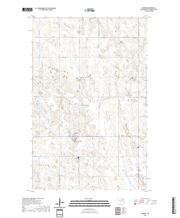
2024 Map of Edmore
USGS Topo · Published 2024About this map
Edmore serves as the primary hub of this Ramsey County landscape, situated at the intersection of 69th St NE and N Kennedy St. The surrounding terrain is defined by the drainage patterns of Nekoma Coulee and the East Branch Nekoma Coulee, which wind through the township grids of T157N and T158N. For those researching the social history of the plains, the map documents the locations of local landmarks such as Saint Hans Cem, Edmore Cem, and Saint Ansgar Cem, reflecting the early settlement and spiritual centers of the region. A network of section-line roads, including Co Hwy 9 and 105th Ave NE, connects the farmsteads across this agricultural stretch of North Dakota.
Find a feature on this map
26 named features on this map. Tap any name to fly to it.
Don’t see what you’re looking for? This feature index may not catch every label — zoom into the map to look around manually.
Map Details
Editions of this 2024 Edmore Map
This is the sole edition of this map. No revisions or reprints were ever made.
Other maps of this area

1953 · Devils Lake
USGS Topo · 1:250,000

1956 · Devils Lake
USGS Topo · 1:250,000

1970 · Alsen SE
USGS Topo · 1:24,000

1972 · Derrick
USGS Topo · 1:24,000

1972 · Derrick SE
USGS Topo · 1:24,000

1972 · Edmore SW
USGS Topo · 1:24,000

1972 · Nekoma
USGS Topo · 1:24,000

1972 · Edmore
USGS Topo · 1:24,000

1972 · Edmore NE
USGS Topo · 1:24,000

1972 · Billings Lake
USGS Topo · 1:24,000