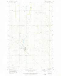
1972 Map of Edmore
USGS Topo · Published 1975About this map
Edmore serves as the central hub of this northern Ramsey County landscape, situated at the intersection of a branch of the Burlington Northern railroad and the winding path of Edmore Coulee. The town's infrastructure in the early 1970s is well-documented, showing the City Wells, a Sewage Disposal Pond, and the Edmore Cem just south of the main settlement. Surrounding the town are the established townships of Fancher, Newland, Highland Center, and Prospect, each characterized by a grid of section lines and scattered agricultural activity.
Find a feature on this map
20 named features on this map. Tap any name to fly to it.
Don’t see what you’re looking for? This feature index may not catch every label — zoom into the map to look around manually.
Map Details
Editions of this 1972 Edmore Map
This is the sole edition of this map. No revisions or reprints were ever made.
Other maps of this area
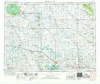
1953 · Devils Lake
USGS Topo · 1:250,000
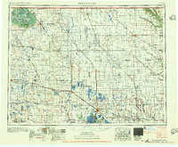
1956 · Devils Lake
USGS Topo · 1:250,000
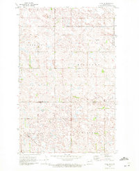
1970 · Alsen SE
USGS Topo · 1:24,000
1972 · Derrick
USGS Topo · 1:24,000
1972 · Derrick SE
USGS Topo · 1:24,000
1972 · Edmore SW
USGS Topo · 1:24,000
1972 · Nekoma
USGS Topo · 1:24,000
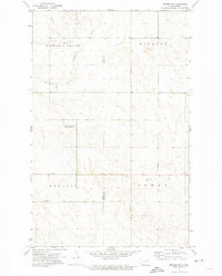
1972 · Edmore NE
USGS Topo · 1:24,000
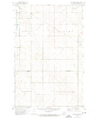
1972 · Billings Lake
USGS Topo · 1:24,000
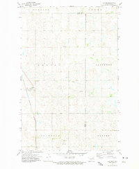
1972 · Lawton
USGS Topo · 1:24,000