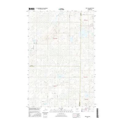
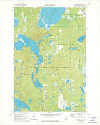
2016 Map of Edna Lake
USGS Topo · Published 2016About this map
Mae sits at the junction of Co Hwy 58 and Moose Wallow Rd in a landscape defined by an intricate network of wetlands and small glacial basins. The area is heavily marked by water, from the winding course of the Moose River in the north to the Little Pine River flowing through the southern sections. This 2016 survey illustrates a region where local forest roads like Pikus Forest Rd and Little Pine Rd provide access to numerous named bodies of water, including Edna Lake, Little Pine Lake, and Starry Lake. The map details the intersection of Cass, Crow Wing, and Aitkin counties, capturing the modern rural infrastructure of this timber and lake country. Topography is relatively level, dominated by marshes and bogs surrounding features like Rice Pad Lake and Muskeg Lake, reflecting the post-glacial hydrography typical of north-central Minnesota.
Find a feature on this map
40 named features on this map. Tap any name to fly to it.
Don’t see what you’re looking for? This feature index may not catch every label — zoom into the map to look around manually.
Map Details
Editions of this 2016 Edna Lake Map
This is the sole edition of this map. No revisions or reprints were ever made.
Other maps of this area
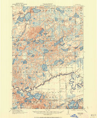
1913 · Cuyuna
USGS Topo · 1:62,500
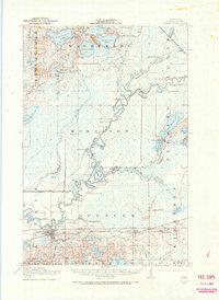
1914 · Aitkin
USGS Topo · 1:62,500
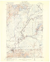
1915 · Aitkin
USGS Topo · 1:62,500
1915 · Cuyuna
USGS Topo · 1:62,500

1953 · Duluth
USGS Topo · 1:250,000

1958 · Duluth
USGS Topo · 1:250,000
1970 · Edna Lake
USGS Topo · 1:24,000
1970 · Shovel Lake
USGS Topo · 1:24,000
1970 · Roosevelt Lake
USGS Topo · 1:24,000
1970 · Thunder Lake
USGS Topo · 1:24,000